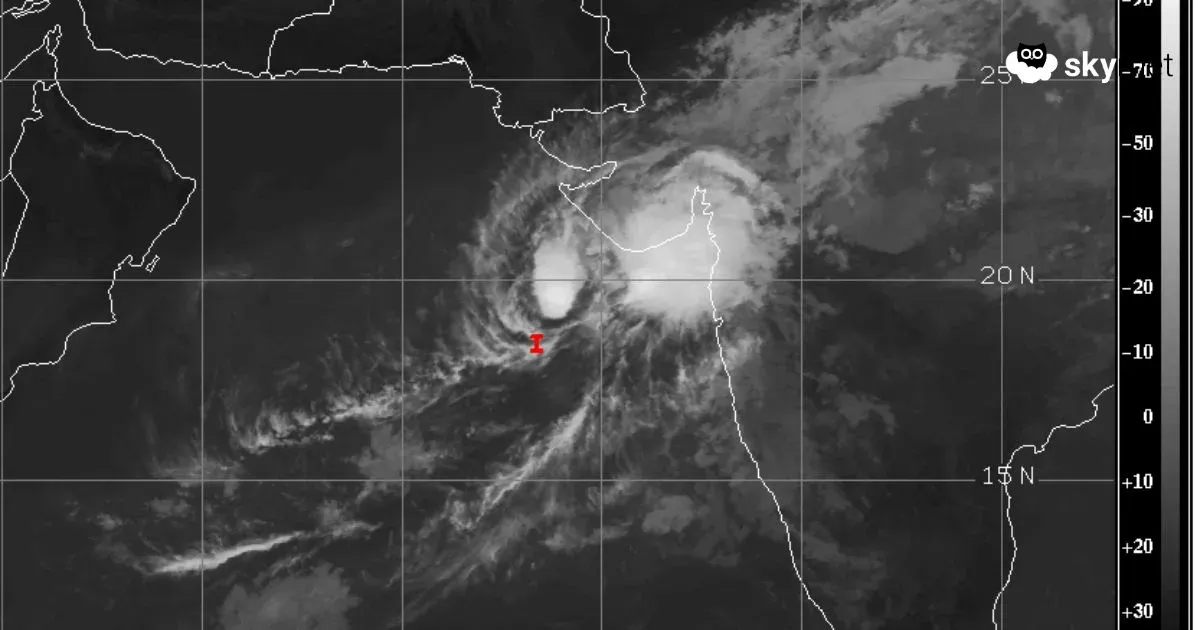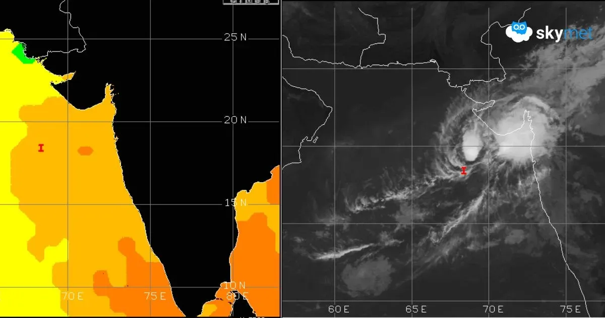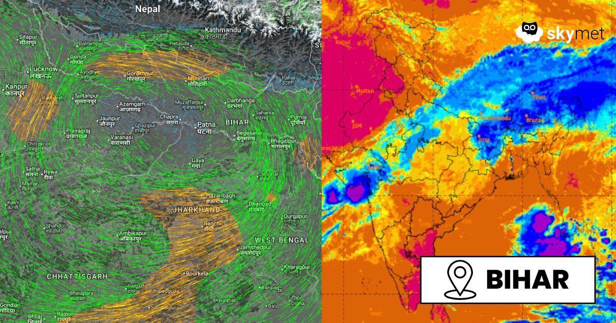
Remnant of Cyclone Montha Triggers Cloud Cover and Circulation Over East India | Sat Image, Courtesy: SkymetWeather.com | MOSDAC (mosdac.gov.in)
The well-marked low-pressure area over north Chhattisgarh and adjoining Jharkhand (remnant of cyclonic storm Montha) has moved northeastward. It is likely to be positioned over north Bihar in the next 12 hours. The system will weaken as it moves close to the foothills over fractured terrain. Still, fairly widespread weather activity is expected over north and northeast Bihar in the next 24 hours and will start easing out thereafter.
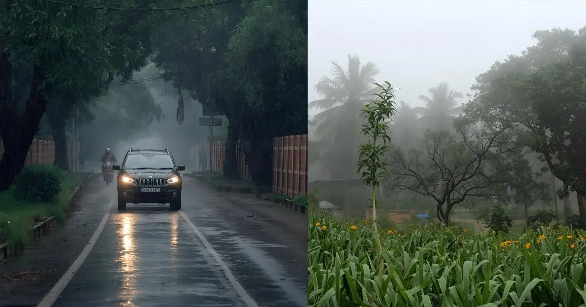
Under the influence of the system, most parts of Bihar have witnessed unseasonal weather activity. Motihari, Darbhanga, Muzaffarpur, Patna, Gaya, and Bhagalpur received light to moderate rain and thundershowers. Chapra was drenched with massive 90 mm, and Forbesganj recorded 62 mm of rainfall in the past 24 hours. More rains are likely, focused mainly on the ‘Purvanchal’ region of the state over the next two days. Heavy and scattered rainfall is expected over this area in the next 24 hours. Places at risk will include Kishanganj, Katihar, Araria, Purnea, Supaul, and Madhepura.
As the weather system moves further northeastward, the cyclonic circulation is likely to break up over the rough and uneven terrain of Sikkim and Sub-Himalayan West Bengal. The residual effect may continue for another 24 hours, with light rains over northeast Bihar. Substantial improvement is likely on 2nd November, and broad clearance can be expected on 3rd and 4th November 2025. The formation of a fresh system over the Bay of Bengal may result in yet another disruption, albeit light and sporadic, between 5th and 7th November 2025.
Trending: Delhi Cloud Seeding: What Happened, Why It Fell Short, and What’s Next Must Read: Unseasonal Weather Activity Continue Over Gujarat: Improvement By Mid-Week Next